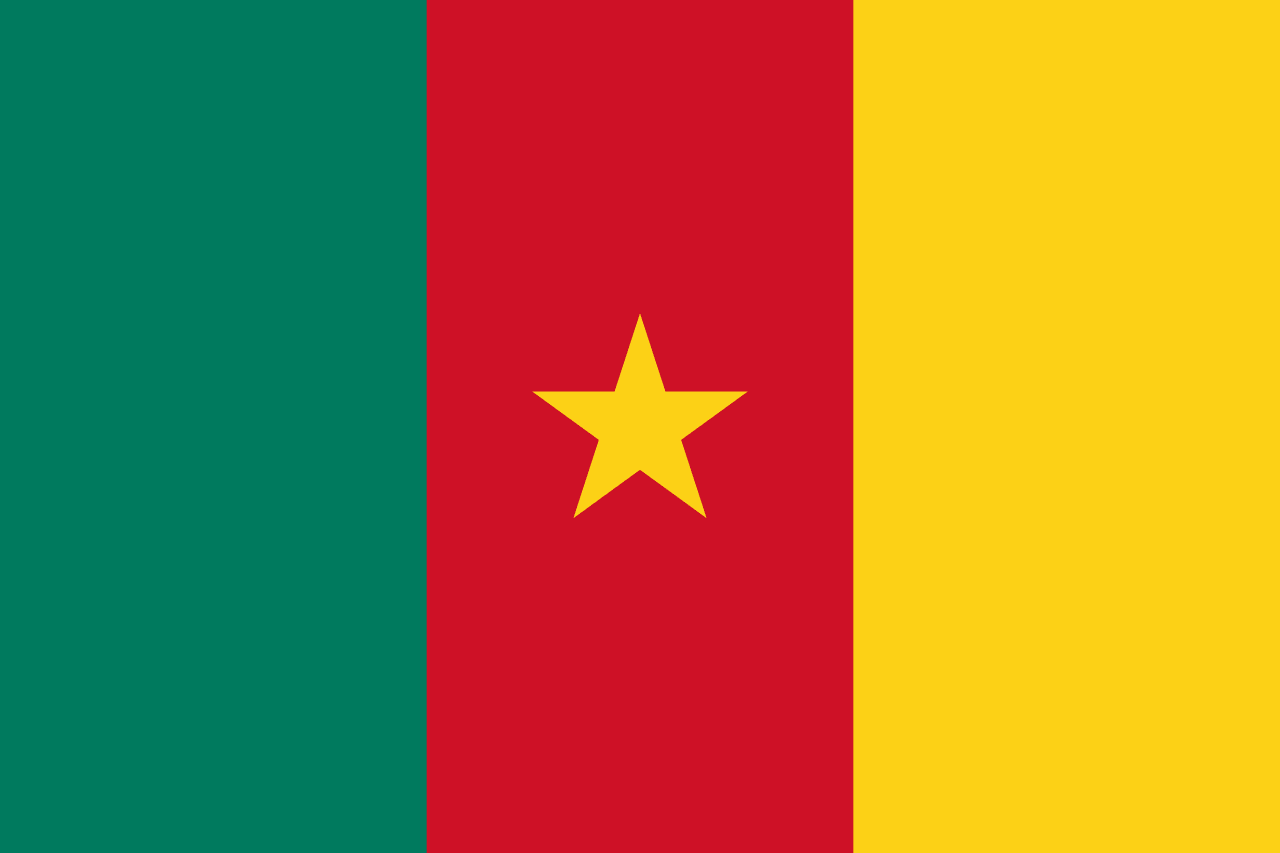
Cameroon at a glance
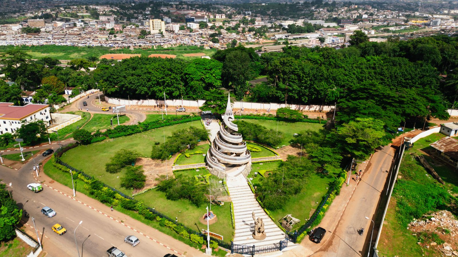
Cameroon is a Central African country on the Gulf of Guinea, often called “Africa in miniature” because it concentrates equatorial forest, savannas, volcanic highlands, Atlantic coast and Sahel-facing plains in a single territory. Yaoundé is the political capital and seat of the institutions, while Douala is the economic capital and main port. About 590 kilometres of coastline open onto the Atlantic, and the country stretches roughly 1,200 kilometres from the coast to the approaches of Lake Chad.
Geography: mountains, forests and the Adamaoua plateau
Cameroon sits between the southern edge of the Sahara and the northern edge of the Congo Basin forest. The south and east are covered by dense equatorial forest, the Adamaoua plateau, often described as the country’s water tower, divides the humid south from the drier north, and the western highlands rise along the Cameroon volcanic line.
Mount Cameroon, an active volcano above 4,000 metres, is the highest peak of West and Central Africa. The country shares borders with six neighbours: Nigeria, Chad, the Central African Republic, the Republic of the Congo, Gabon and Equatorial Guinea.
Climate and biodiversity
The south has an equatorial climate with abundant rainfall, stable high temperatures and four seasons: a short rainy season from March to June, a short dry season in July and August, a long rainy season from September to November and a long dry season from December to February. The north has a tropical climate, Sudanian in the centre and Sahelian toward Lake Chad, with a single rainy season and very irregular rainfall in the far north.
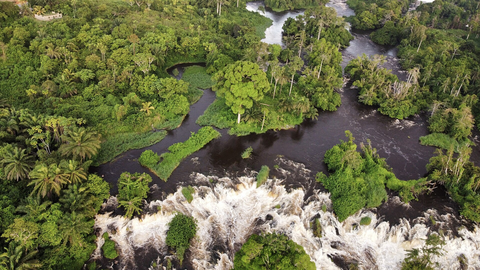
This range supports mangroves on the coast, rainforest in the south and east, wooded savannas on the Adamaoua and steppe in the far north. Protected areas such as Waza, Dja and Lobéké shelter elephants, great apes and many other species, while deforestation and hunting remain major pressures on wildlife.
Early societies, European contact and the German protectorate
The earliest known inhabitants of the territory are thought to be the Baka, forest hunter-gatherers who still live in the south and east. Settled farming and herding societies developed from the first millennium BCE, and Bantu languages spread from the south-west of present-day Cameroon across much of sub-Saharan Africa.
In 1472, Portuguese sailors entering the Wouri estuary were struck by the abundance of shrimps and named the river Rio dos Camarões, the origin of the name Cameroon. Germany established the protectorate of Kamerun on 5 July 1884, built roads, a first railway, the port of Douala and large plantations, and relied heavily on forced labour.
From mandate territories to independence and reunification
After Germany’s defeat in the First World War, the League of Nations placed most of the territory under French administration and two western strips bordering Nigeria under British administration. French Cameroun became independent on 1 January 1960, and the following year part of the British territory joined it, creating the federal republic that explains the country’s French and English heritage today.
Peoples, languages and religions
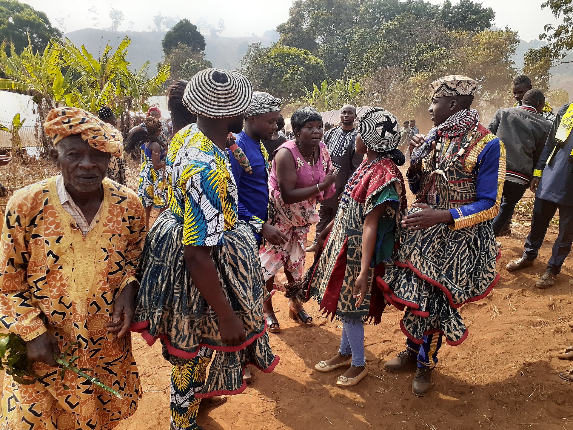
Cameroon is one of Africa’s most diverse countries, with around 300 languages. Three broad cultural areas are often described: the northern savannas, home to Fulani lamidats and many non-Muslim highland peoples such as the Mofu, Mafa and Moundang; the western Grassfields, with Bamileke, Bamoun and Tikar chiefdoms; and the forest south, with Beti, Bassa and coastal Sawa communities.
French and English are the two official languages and are used in administration, education and the media, making Cameroon one of the few bilingual countries in Africa. Urban youth also speak Camfranglais, a lively mix of French, English and local languages. Christianity is the largest religious tradition, Islam is practised by roughly a third of the population, mainly in the north and west, and traditional religions remain present, especially in the west, south and east.
Economy, oil and agriculture
Cameroon has one of the largest economies in Central Africa, built on agriculture, forestry, oil and gas, trade, transport and services. Oil production began in 1977. Cocoa, coffee, cotton, bananas, palm oil and timber are major exports, and the country also holds bauxite, iron, cobalt, nickel, manganese and other mineral resources.
Douala is the main port and commercial hub for Cameroon and its landlocked neighbours. A large informal sector employs most urban workers, and the Camrail railway and several trans-African road corridors cross the country.

Cities, regions and infrastructure
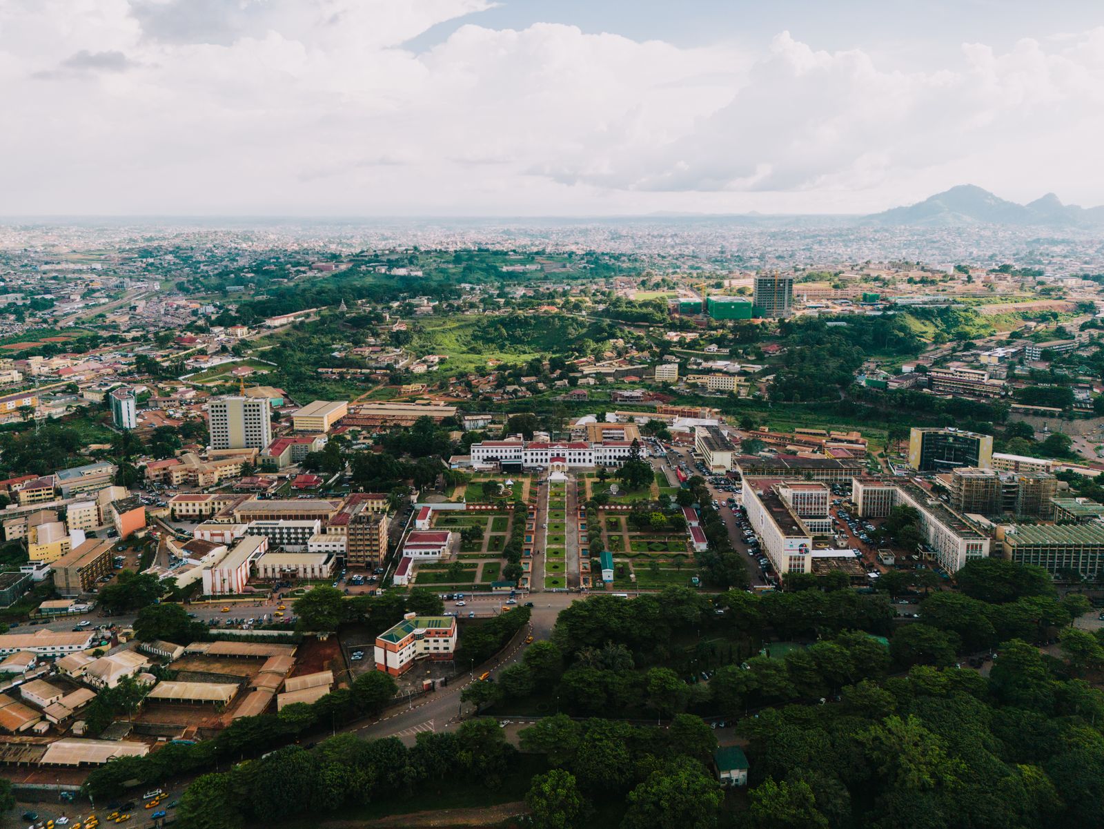
Cameroon is divided into ten regions. Yaoundé, in the Centre region, hosts the government and many universities; Douala, in the Littoral, concentrates ports, banks and industry. Garoua, Maroua, Bafoussam, Bamenda, Buea, Ngaoundéré and Bertoua are important regional capitals, and Kribi is a growing deep-water port and seaside destination.
Cuisine, music and the arts
Cameroonian cuisine is varied. Ndolé, poulet DG, eru, koki, okok, mintoumba and bongo’o are among the best-known dishes, eaten with plantain, cassava stick (bobolo, miondo), couscous of maize or fufu, and sauces made from groundnuts or palm oil.
Traditional music uses the mvett, drums and balafon to commemorate events in the life of a family or a people, and contemporary musicians, sculptors, photographers and painters draw on masks, statuettes and chiefdom architecture. The Ngondo festival of the Sawa people in Douala is one of the country’s best-known cultural events.
Football, sights and education
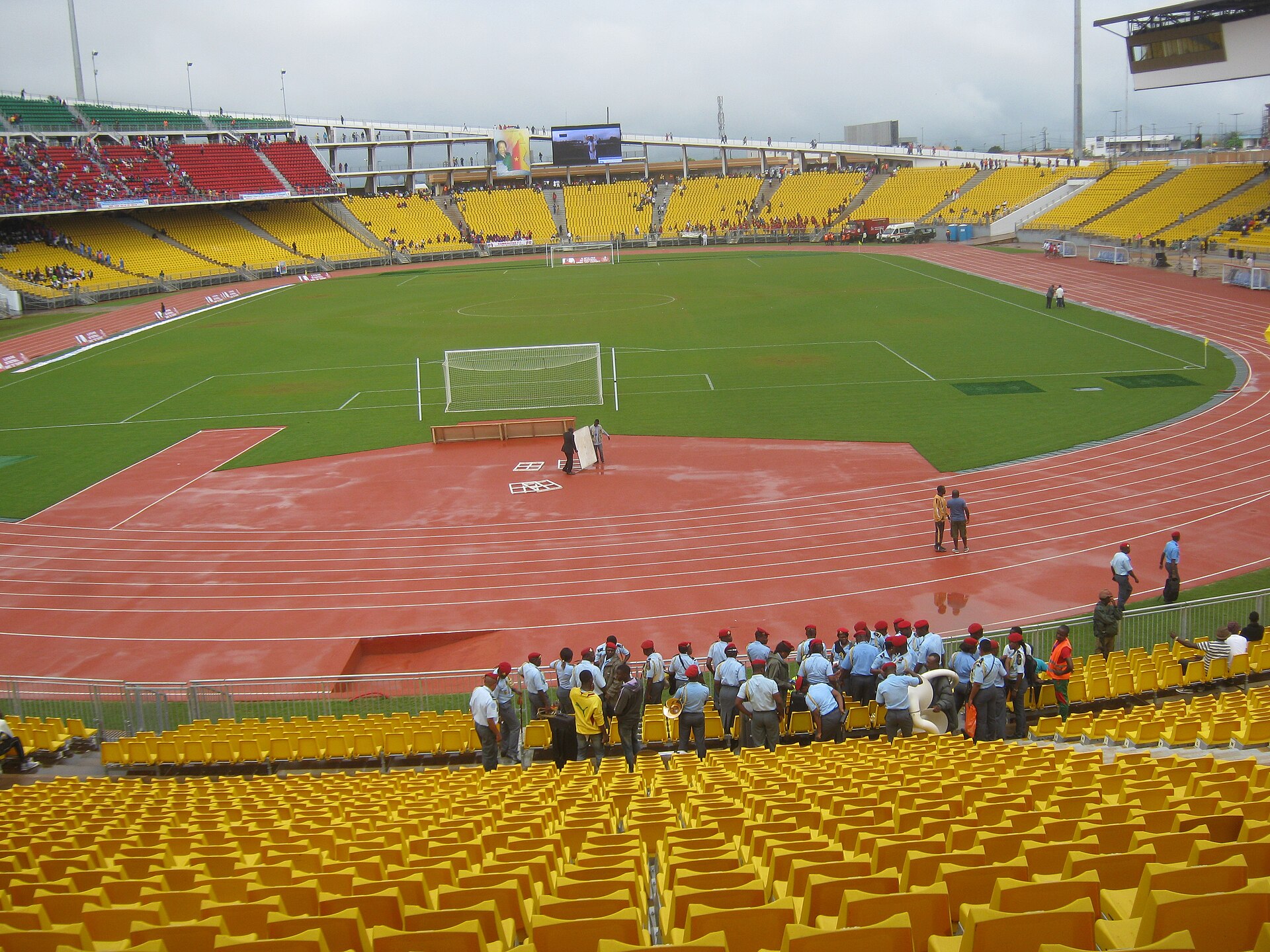
Football is the most popular sport, led by the Indomitable Lions, the national men’s team, and the women’s team, the Indomitable Lionesses. Tourism highlights include Mount Cameroon, the beaches of Limbe and Kribi, the Lobé waterfalls, the Ekom-Nkam falls and the national parks of Waza, Dja and Lobéké.
Education follows a bilingual model, with public and private schools and universities in Douala, Yaoundé, Buea and Dschang. Major health priorities include malaria, maternal and child health and access to care in rural areas. In the journey of WHAT NEXT?, Cameroon is the first of the 21 countries on the route.

Cameroon in pictures